The Geo4Dev initiative is offering a suite of learning modules aimed at training interested researchers and analysts to use novel geographic datasets and methods. The modules are formed around accessible, research-ready tutorials which walk users through accessing, handling, and analyzing novel or technical geographic data sources. The Geo4Dev tutorials, and other training resources, are created to ensure geographic data sources aren’t limited only to those with technical backgrounds, but instead truly fulfill their open-source promise and potential. If you are interested in developing a learning module for Geo4Dev, please contact info@geo4.dev.
Satellite Crop Type Mapping
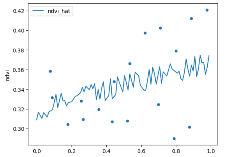
This tutorial provides guidance on creating a machine learning model to identify crop types from satellite imagery and other earth observation data. For users with a sample of known crop locations, the tutorial demonstrates and describes the steps required to train a model on the known samples and predict crop locations for a wider area of interest.
Applications of Remote Sensing for Impact Evaluation
Geospatial data can play a significant and increasing role in supporting impact evaluations – as well as other stages of the policy process such as design and implementation. And the amount of geospatial data is growing rapidly, whether that’s conventional data that is now tagged with its precise location, remotely collected data from sensors on the ground, drones flown at low levels, or satellites orbiting the earth.
These newly available sources can give us great insight into issues such as the changing coverage of forests, vegetation, crops, water, air quality, buildings and infrastructure, and so on – and often this can be done remotely, at a relatively low cost, and in a very timely fashion. Combining geographical data can also give us a better picture of the spatial relationships between issues – for example helping us develop small area estimates of poverty and other issues. And improved visualization techniques can really bring these analyses to life for decision-makers.
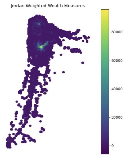
Population Weighted Wealth
This Geo4Dev tutorial guides users through creation of population-weighted wealth maps and accompanying statistics for the administrative areas of interest, the product of a collaboration between the Center for Effective Global Action (CEGA) and Facebook’s Data for Good. The tutorial showcases how population and wealth data are joined by location, aggregated to administrative areas, and weighted by population. In addition, the user is guided through validation of their results and exporting the results as maps and tabular statistics.
Radiance Calibrated Nighttime Tutorials
This tutorial draws from Marco Gonzalez-Navarro and Matthew Turner’s use of Radiance Calibrated Nighttime Lights in their paper "Subways and Urban Growth: Evidence from Earth" (2018), which focuses on analysis of data from sensors calibrated to avoid saturation of urban centers.. The tutorial does not directly follow the methodology of the paper which may lead to inconsistency in certain values when compared to those obtained by Gonzalez-Navarro and Turner at a granular scale.
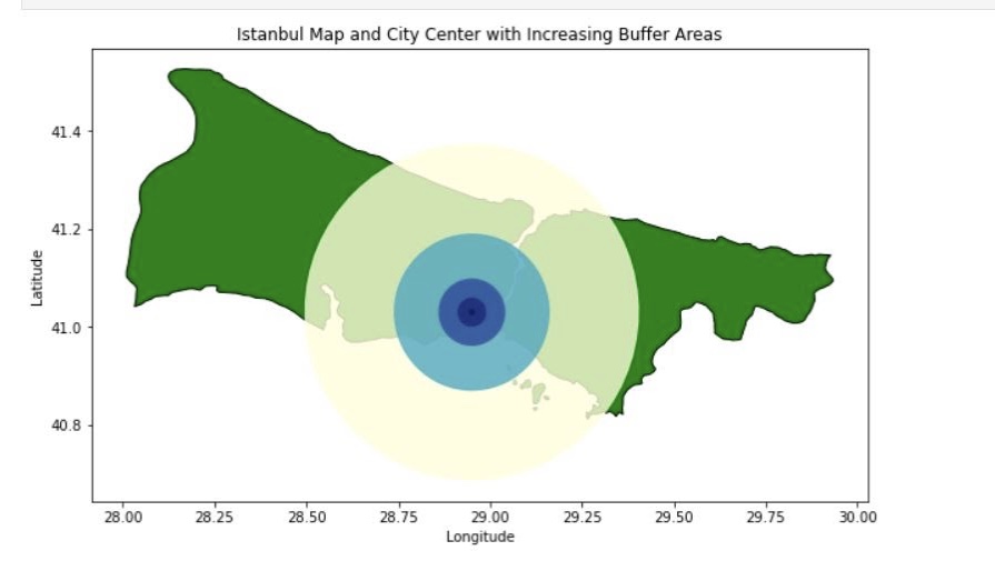
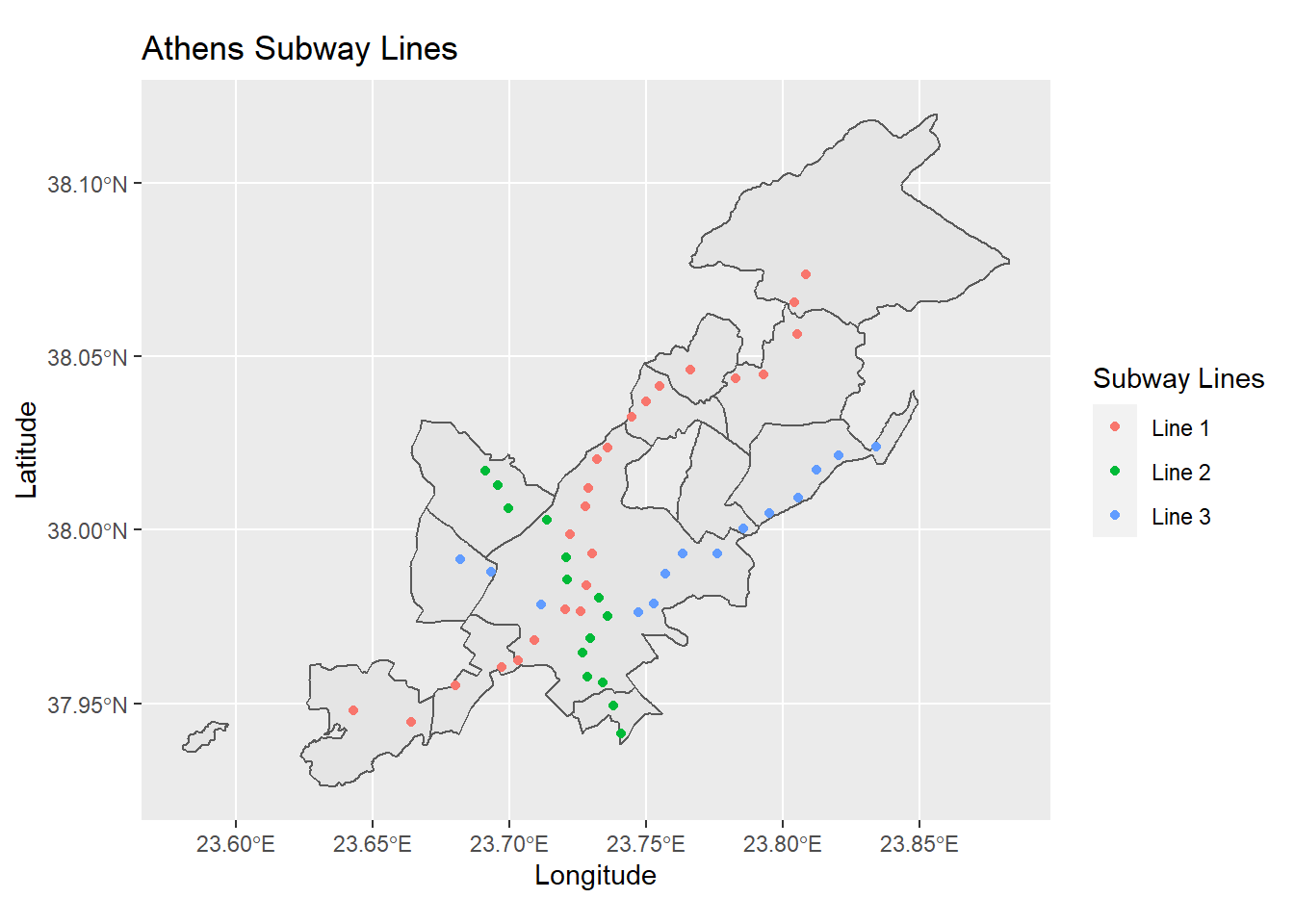
Global Subway Systems
This Geo4Dev tutorial makes utilizing novel data from “Subways and Urban Growth: Evidence from Earth” (2018), by Marco Gonzalez-Navarro and Matthew Turner accessible to all audiences regardless of technical ability, demonstrating all code required to import the subway data, select locations or stations of interest, create summary statistics, and build maps and graphical visualizations.
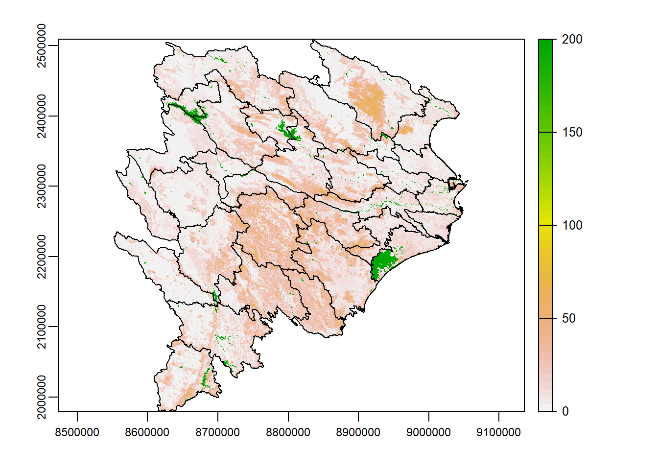
Deforestation and Land Cover
Information about vegetation coverage of the earth's surface - particularly changes in coverage - enables the study of questions in fields ranging from the natural to the social sciences. This Geo4Dev tutorial provides an approachable introduction to and demonstration of the use of the MODIS Vegetation Continuous Fields (VCF) product.
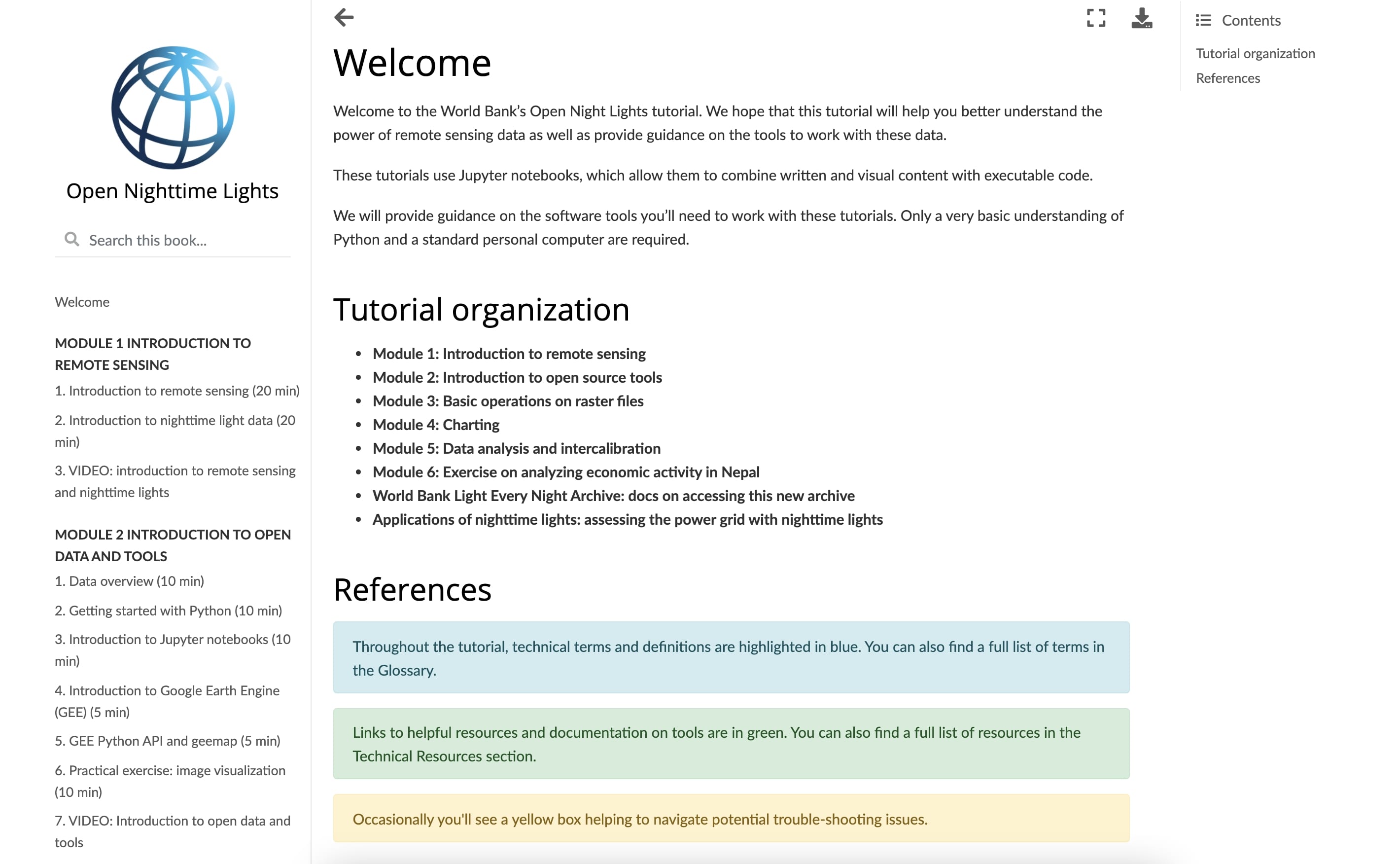
Open Nighttime Lights
Intro to Nighttime Lights and the Google Earth Engine API
Crop Yield Mapping Using Satellite Data & Land Cover
This tutorial provides guidance on creating a machine learning model to predict maize yields from satellite imagery and other earth observation data. We train on variety trial data collected by CIMMYT used in Lobell et al. (2011) Nature Climate Change.
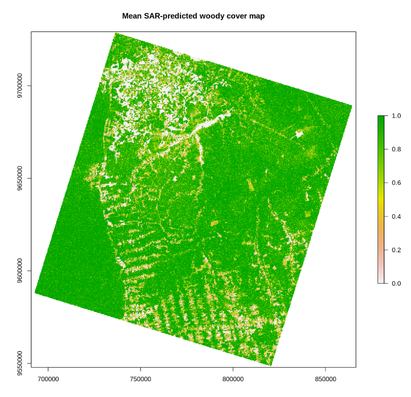
Woody Cover Estimation
This tutorial provides guidance on creating a predictive modeling workflow to quantify woody cover from remote sensing datasets (Airborne Light Detection and Ranging (LiDAR) and Synthetic Aperture Radar (SAR)). The methods introduced in the training module were inspired by “Quantifying the sensitivity of L-Band SAR to a decade of vegetation structure changes in savannas” (Wessels et al., 2023, Remote Sensing of Environment).